Bovec is not the most friendly starting point for families who want to go to the mountains. Most of the tours are long and tiring. We also repeated the same easy routes and climbs for several years. Luckily, last year we discovered a new peak: T3lier (translation: plate). It was marked by a local, Hari, and I think this peak is a unique asset for Bovec and the surrounding area.

Starting point : Kaninska vas.
Walking time: 1 hour or a little longer with little hikers. They will need some patience and words of encouragement to overcome the steepness.
Difficulty : The trail is quite steep. The last few meters are slightly exposed and narrow. Otherwise, it is dry most of the year and is suitable for children with backpacks or older than four years.
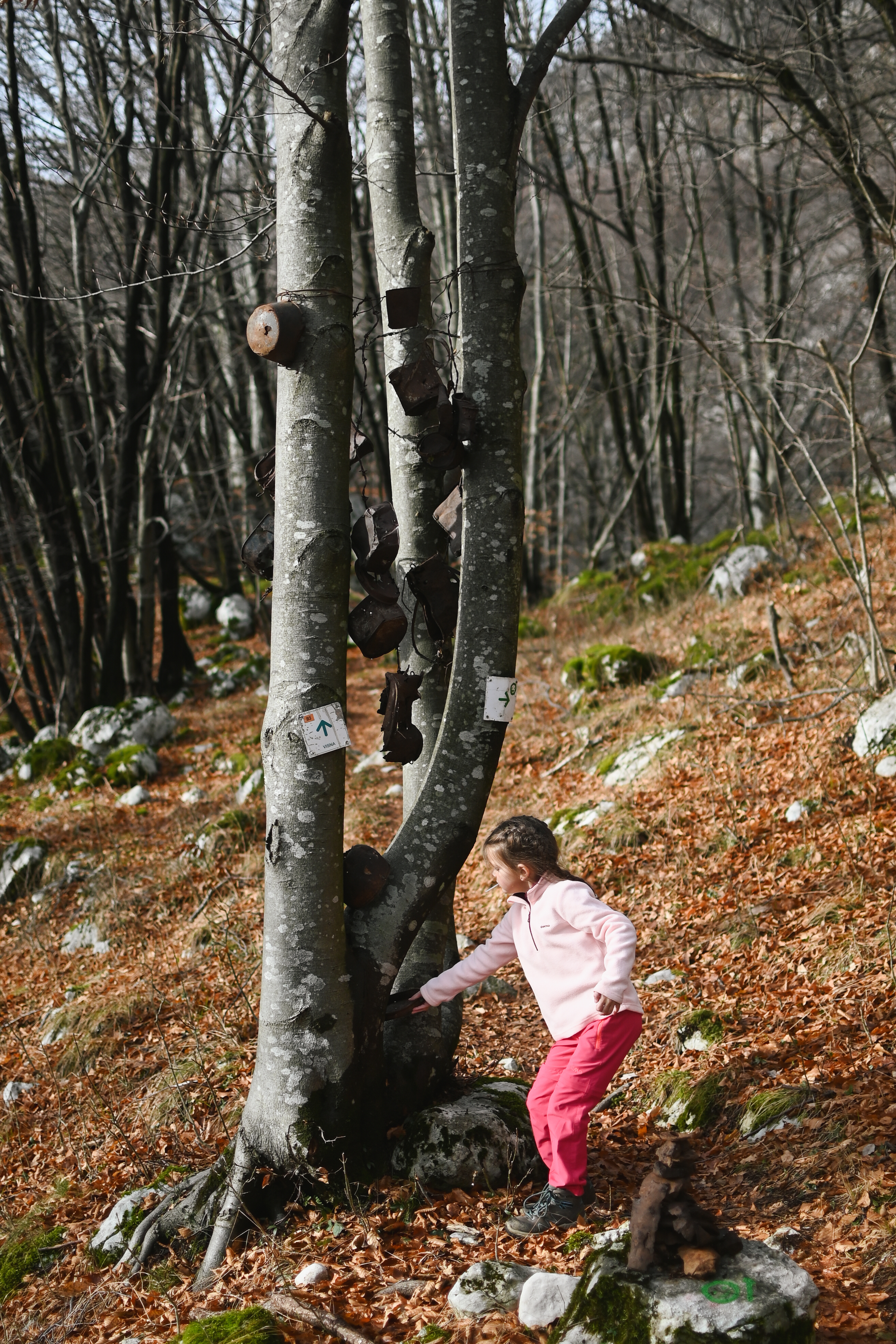
Interesting facts: You will find a lot of military remains along the way, which will also motivate the kids .
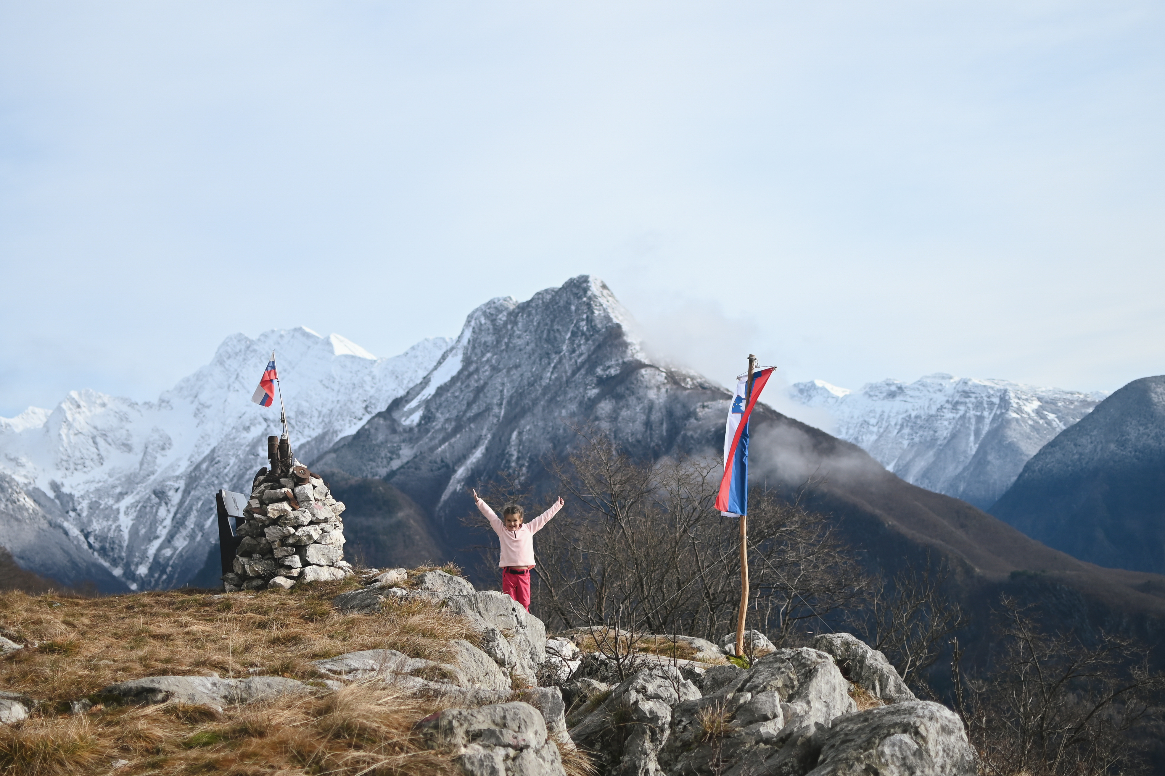
The peak offers a magnificent view of Bovec, the airport, Golobar, Svinjak, as well as Čuklo, Rombon and Kanin. At the top there are benches, a stamp and a registration book.

Description of the route: The initial part of the route is not marked, so read these instructions carefully . You start the route in Kaninska vas and walk past the Škander Eco Farm and keep left for a few meters (for Rombon), then at the fork of two asphalt roads turn right uphill (do not continue for Rombon and Čuklo). Along Klanec Street, you go past two houses (one on the left and the other on the right), a little further uphill past the house where the asphalt then turns into a gravel road. Continue uphill on the gravel road. Do not leave this gravel road and follow it uphill until you reach the house and the fence. Open the fence and go towards the house where you will then notice yellow signs, there turn right for Široki plaz or Bovec. The route will lead you past two troughs with water and a few houses (mountains). You will start to descend a little, along the path. When you arrive at the wider path again, you will notice a green smiley on the left and turn left uphill, up the stairs and over the bridge. The trail is further marked with green smileys. Follow the smileys and after a rather steep climb you will reach the top. The path is clearly visible and well-trodden. Return along the same path.
You can find more ideas for where to go in the Soča Valley in my guide Soča Valley for little mountaineers .